Showing posts with label mountaineering. Show all posts

A Decidedly Damp Italy Part 2

We had one route in mind: the Nordkante on Piz Badile. A 1000m long line of immaculate granite.  It's the sort of route that gets people saying "the finest route in the Alps" and that sort of thing.

The only trouble was that it was raining.

Another trouble was that the route starts in Switzerland and finishes in Italy.  So while it rained we sat in the colourful Kandaluna cafe in San Martino in the Val de Mello and discussed logistics.  We stared at the guidebook. It was in German, so the staring didn't help that much.  We looked at the walk around to Switzerland. It was a long walk, had two high passes and might need crampons. We looked at the trip around via public transport. It looked like a ball-ache.

The next morning we woke up to sunshine and decided to hire a bouldering mat. According to a plaque, bouldering was invented here. It must be tricky to pin down when a climber first started training/messing around on boulders. We had a fun morning in a meadow by a river trying our hand at bouldering. The hard routes were too scary and hard. The easy routes were too scary and hard.  But we got used to the granite.

In the afternoon we decided to go and climb something proper. A four pitch route called Tunnel Diagonal. The hardest bit was finding it as our German guidebook had drawn a lake in the wrong place on a map. The climb was great and whet our appetites for more.

But the rain returned.

Rather than mope about in the rain we walked up to the Omio hut and spent the night there. It was a good move. Getting up high gave us a boost. This is what we'd come for: Mountains!

In the morning it was still raining. We had a leisurely breakfast, read our books, felt frustrated by the rain, and then walked down to the valley again.

After a night in a swanky mountaineering centre accommodation, we felt frustrated, so we walked back up. This time we took our climbing stuff and planned to stay in the Giannetti hut for a few days and see what we could get done.

We arrived in rain, had a beer in the hut, and then decided to go and look at the first pass on the route around to Switzerland.  Without our packs it was fun walking up to the gully and then tramping up the snow and climbing up the gap where the snow met the rock wall.  It was fairly precarious stuff without crampons but doable. The Swiss side , when we reached it, looked unpleasant.  Without crampons it would be a long, nerve-racking descent.  We went back for dinner. The forecast for the next day was reasonable. We decided to get up early and have a go at the descent route for the Nordkante. The Via Normale up the South ridge of Piz Badile.

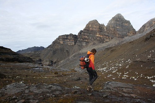
In the morning it was windy but with clear skies. We stood outside in the wind. It really was windy.  We set off.  Getting off the ground was the most difficult route finding, but from there there was a set of abseil rings, painted arrows and red blobs to follow and we climbed the route quickly.  At the top the wind had disappeared and the cloud was gone. We had fantastic views across the Alps. Monte Disgrazia was especially impressive.  We had our lunch, took photos, had a look at the orange bivouac and saw people climbing the ridge.

We were a bit disappointed. Perhaps that should have been us. We'd missed our weather window.

We couldn't feel to bad because we were on top of an amazing mountain, with incredible scenery, in brilliant weather.  We set off down. It would have been easy to down climb the route, but we decided to get some practise of multi-pitch abseiling. This was surprisingly good fun and we were pretty satisfied with our improving slickness.  We were back down at the hut mid-morning and had a beer.

Two British mountain guides showed up a few hours later, they'd climbed the Nordkante and we chatted to them asking about the route and getting information for "next time".

The next day the rain, as predicted, returned. We set off for a walk over a pass to the Omio hut and then back down.

Again, weather had forced us to make a decision and we just hadn't felt confident to attempt the route while it was unsettled.  We made a good decision and when we go back, we know a lot more and will be well prepared.  We've got unfinished business.


A decidedly damp Italy Part 1

"Check mate."
Jo had beaten me at chess for the first time. She didn't look as smug as I might have thought.  We'd been killing time in the Refugio Tosa mountain hut all morning. It was still raining.

Two days before we had arrived in a baking hot thirty-three degrees Italy and been cooped up in public transport to get to Molveno. We immediately went for a swim in the gorgeous lake. We'd eaten a great big pizza sat in a touristy restaurant with nice views of the Brenta range and gone for a lakeside stroll.  Then there'd been a day of walking uphill. It started raining just as we stopped for lunch at a Refugio half way.  It had then rained solidly over night and all morning.

The hut warden told us that the forecast was for the weather to improve in the afternoon. So following a break in the weather after lunch, we set off for our first Via Ferrata of the holiday.

We were now in high mountains equipped mentally (lakeside memories) and physically (trainers on our feet) for the sun drenched Alps. Instead we got drenched. And a bit terrified.

Huge limestone towers loomed out of the mist we tottered along connected safely to the fixed cables of the via ferrata. The path way seemed to be gauged out of the side of the cliff. As we rounded a corner the cable disappeared through a patch of snow that lingered in a gully. The only way to continue was to unclip and walk across the hard snow, kicking steps as well as possible in trainers.  A rope would have been lovely, crampons and an axe even better.

After more ledges and ladders, more scary snow and with the rain now returned, we reached the Alimonta hut.  We met some blokes from Yorkshire who taught us a card game (called Bonk, a bit like 7 card Whist but you have to make a bid on how many tricks you'll win).

The next day the weather was improved and we did the Ferrata Sosat. With sunshine and scenery out in force this was a big improvement.  We reached Rif. Tuckett and had to make a decision.

The Brenta range is incredibly beautiful, but in the conditions we were finding them in, the via errata routes were much more of a serious, mountaineering effort than we were prepared for.  We decided to head down to the valley and get a bus to Riva del Garda.

Riva proved to be a good base for several via ferratas. One, which started directly opposite our B&B, took in fantastic views of the lake and the city below.  Being in the town also gave us far more flexibility with the weather.  So we swam in the lake, went to watch a gypsy jazz band and ate in an amazing restaurants.

On Jo's last day before getting a flight home, and starting work as a doctor, we hired a car and had a packed day.  We started on an unusual canyon via ferrata near Drenna. The route was formed by stemples that were bolted into the sculpted canyon walls.  The effect was a climb with lots of cool waterfalls and with some interesting strenuous overhanging bits that were really fun.  The route continued following the river, across some wobbly wire bridges up to Drena Castle.

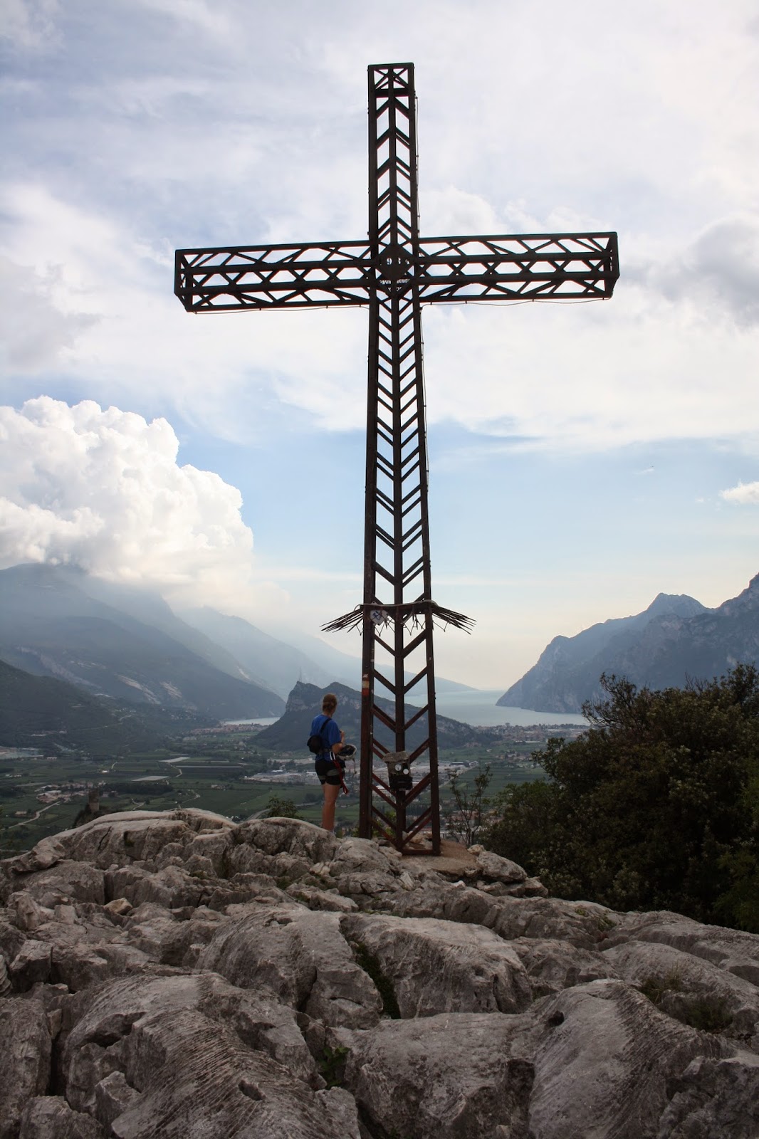
Back to the car, we realised we had loads of time to fit in another via ferrata. So we sped to Arco and set off up another one.  This was all a bit too easy but the views were terrific and at the top there was an incredible limestone pavement, a big iron cross and a fantastic view of Lago Garda.

Unfortunately there was also a great view of a big storm cloud coming our way accompanied with thunder and lightning.  Being stood by a big iron cross on the top of a mountain in a lightning storm didn't appeal so we descended quick.

Jo carefully explained that after a hot day, getting sweaty, climbing via ferratas, wouldn't it be a good idea to have a quick dip in the lake before we had to drive for hours? I knew she just wanted to go for one last swim.  All we saw of Torbole was the car park and the beach. We swam out, swam in, towelled off and got back in the car to drive to the airport.

We both were torn over that decision in the Tuckett hut, but it worked out well for us. Within a week we packed in two very different via ferrata holidays: a serene high mountain hut-to-hut walk and a lakeside luxury culture fest.

As Jo left, Conrad arrived.  And in the next week we had only one objective: Climb the Piz Badile.  Find out how we got on in Part 2.


Buttermere

PA310720
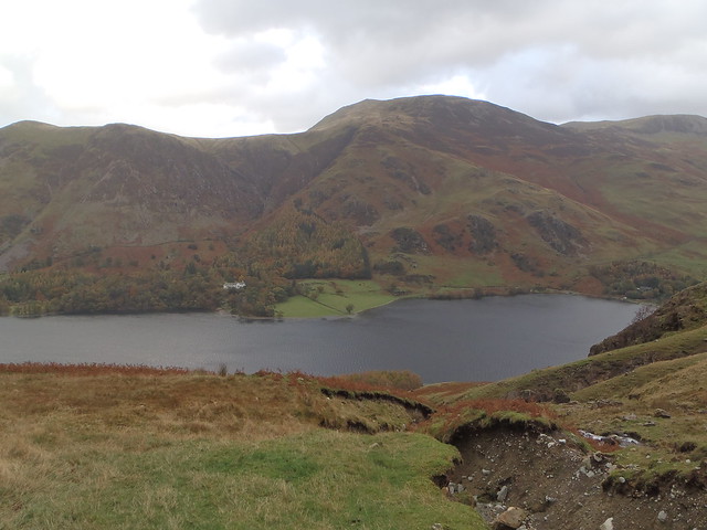
A month ago I'd never been to Buttermere. It's odd how without really planning it I ended up, on two separate occasions, driving over the Newlands Pass and parking up in this valley.  The trees are in full on autumn gorgeousness and this is a very beautiful place to visit.

Buttermere Trip One (31.10.13)
PA310732
Conrad and I parked at Gatesgarth and headed up to Grey Crag. I had great fun splashing through puddles and squelching through boggy bits.  Always fun but it was especially enjoyable as Conrad squirmed about trying to avoid getting his feet wet in his fancy approach shoes. I stayed smug and dry-footed in boots.

We selected Grey Crag on the basis that you could run together several easy multi-pitch routes.  The forecast looked like it might stay drier in the north. It had rained heavily the night before and everything was still a tad damp.

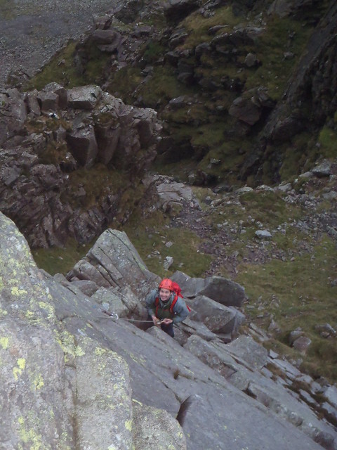
We climbed Harrow Buttress (Diff**) and then Slabs Ordinary (V Diff) and finally Oxford and Cambridge Direct (Severe***).  It was nice to have the slowly escalating difficulty and the quality of the routes improved each time.  As we went higher the routes dried out with O and C being exposed to plenty of wind.

We each had our scary moments (appropriate for Halloween). On the second pitch of Slabs Ordinary, Conrad climbed off around the corner for rather too many metres above the belay without finding any decent protection.

The scary moment for me came on the crux of the last pitch of O and C.  Conrad later commented that he watched me stop on the ledge and just look at the wall for a few seconds longer than is reassuring. I wasn't trying to put gear in. I wasn't trying out hand holds.  He decided that wasn't a good sign.  For me the slightly terrifying part was when I decided to take a peak on the right side of the arête and see if there were any holds around there. There weren't.  There was a long steep drop. And then there was a big gust of wind.

Somehow I got the bottle together to climb to the top and almost as soon as Conrad followed me up, it began to pour with rain.  We'd timed it perfectly. It would have been even scarier on that arête if there was a river flowing down it.

Buttermere Trip Two (16.11.13)
PB160744
Jamie and Laura have been collecting Wainwrights. I had a glimpse into their game with a great day's walking.

Like with Munro bagging, there is a list of the peaks written about in Wainwright's famous Lakeland guidebooks you can go about tramping up and down and ticking off. Jamie has a map with little red marks on the hills he's been up. There was a blank spot on a few just east of Crummock Water for us to get our teeth into.  First up was Whiteside.

It felt like a bit of a slog heading up that path so it was good to have a pause and hear about the flora.  Laura is a botanist and Jamie is a ranger.  Between them they know a fair bit about the small things growing around you on the hill and also about the big things growing down below.
"See those trees that look like conifers but their leaves have gone brown? Most of those are larch." says Jamie.
"All of those are larch," corrects Laura.

Down at our feet we spot some moss.  I incorrectly identify some sphagnum moss (the only one I've heard of) but it turns out it is Polytrichum.  While I'm forgetting how to say that we see some Club Moss, a Juniper tree (almost endangered - how are we going to make gin?!) and Geographica lichen (which looks like little continents).

We spotted an exciting rocky looking ridge from the slog and were pleasantly surprised to find it was an exciting rocky ridge as we walked along it to Hopegill Head and then down to a broad col where some boulders provided a sheltered picnic spot.


The walk continued over Grasmoor. The clag came down and we got the compass out and timed our pace as we followed a bearing.  9 minutes and 34 seconds later we found our path. It was 26 seconds early.  The visibility returned as we followed the ridge over Wandope and Whiteless Pike. Sadly there was no more need for the geeky navigation practise. 


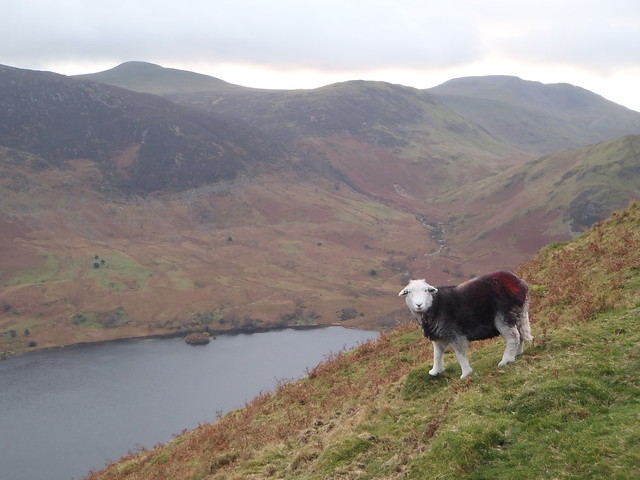
Unlike the Munros which are defined to be mountains over 3000 feet.  Wainwright just chose the big fells and the ones he liked. So we get Rannerdale Knotts to walk over even though it's a piddly 355m.  But it is well worth it. The views down the valley to Buttermere, with Haystacks and High Crag behind, are the best of the day. And the peak itself has the character of something much bigger with plenty of craggy bits and a few photogenic sheep.


Jamie tells me the sheep are Herdwick which is a Viking word meaning sheep pasture.  The "wick" bit can also be "vik" and it means bay or fjord. This is used a fair bit with place names like Wick and Lerwick and in the word "Viking" itself which means "one who comes from the fjords".  


I wondered about the red spray paint most of the sheep seem to have on them.  Laura reckons they put a load of ink on the chest of a ram. The ink comes off when the ram mates and the farmer can easily see which ewes have been shagged.
PB160747
I'm a convert to Buttermere, and I'd like to come back and try the ice cream. PB160748

I offer guided walks and walking holidays in Northumberland, the Pennines, the Lake District, Scotland and further afield.

I'm always keen for outdoor adventures to help people learn the skills to explore! My particular focus is mountain skills such as navigating with a map and compass and wild camping for expeditions.

Shivering In El Cocuy

IMG_2141
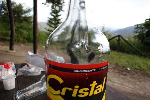
Getting to the Sierra Nevada del Cocuy isn't an easy thing to acomplish by bike. I had anticipated it taking me a day or two from Bucaramanga...But then I did get a little waylayed by some paragliders, a surprise birthday party, some basketball fans, a man in a wig, a maricahi band and something that I recommend you never drink called "aguardiente".
IMG_1928
Then came the toughest stretch of road I've cycled sinse the Careterra Austral. Stupidly steep, narrow, ugly gravel and crossed by gushing rivers on every bend. I arrived at the little village of Guican almost a week and a half after leaving Bucaramanga. A small pueblo perched on the side of a mountain valley with a steep sloped central square.
IMG_2010
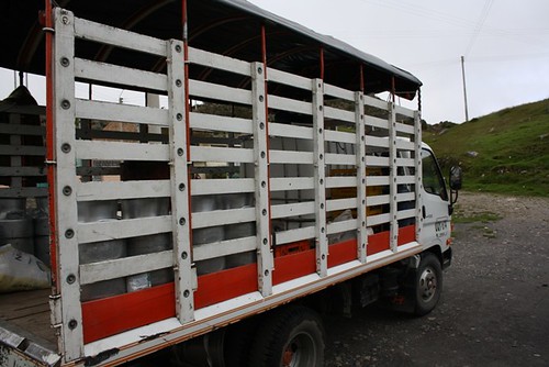
At five-thirty in the morning, at the corner of this square, I found myself waiting along with 5 or six locals, for the lechero. This is an open-sided truck that drives a loop of the mountain roads, collecting small pails of milk from tiny farms and moving about various things like sacks of potatoes, kids going to school, boxes of tools, cowboy farmers (in thick woolen ponchos, ganster hats and welly boots) and a weirdly dressed gringo who wants to go hike in the mountains.
IMG_2095
Well, after a very cold ride (for those poncholess idiots), getting stuck in the mud and stopping every five minutes to pick up milk the journey to Cabañas Kanwari took five hours. I could have walked in three, but I guess it was a novel experience. By the time I reached the cabañas it had began to rain. I scutled into a hut and downed a few tintos (coffee) and ordered a slap-up lunch. This would be the last decent meal before the hiking rations of pasta, rice and oats. It was still raining after lunch but I began the walk.
IMG_2119
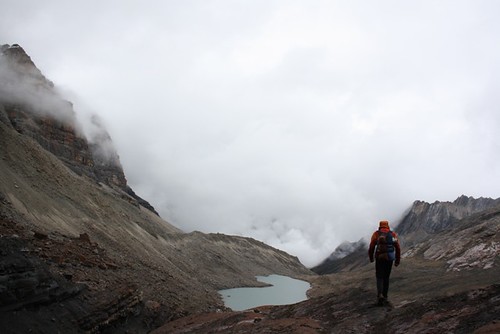
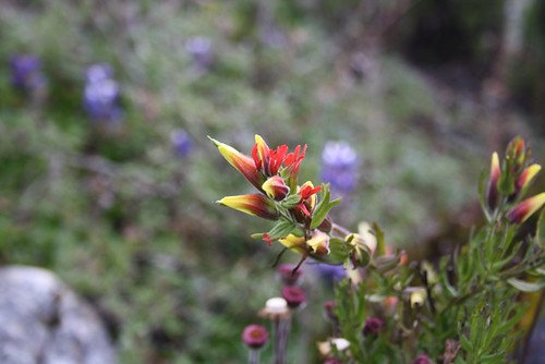
Once I'd hiked to the end of the road, I continued along a track up to a pass and down into a valley. By this stage I was in the mist and couldn't see much at all. The valley was waterlogged and vegetated by the strange, triffid-esque cojine plants unique to this mountain range. Just as it was getting dark, with the rain still lashing down, I found the first lake and put my tent. I was in for a cold night. My sleeping bag has now lost a lot of its feathers. With a wet me inside it, it doesn't provide much warmth. Also, I wasn't well aclimatised and insomnia is one of the first symtoms of altitude sickness for me. But the cold was the worst thing. Every few hours I warmed up the tent by boiling up some water. Unfortunately I couldn't make tea as I forgot the tea bags so I just had bowl after bowl of hot sugary water.
IMG_2077
I was packed and walking as sunrise broke. I didn't see it as it was still misty. The terrain switched from bog to rocky trails. I climbed another two 4000m passes with towering cliffs disappearing into the clouds with Laguna del Isla in between. At mid-day I reached Laguna Avellanal and stopped to cook some pasta for lunch. Just as the water came to the boil a hail shower started pelting me. There was no shelter but I decided to wang the tent up by the lake double quick. Then I moved my bag indoors and clamboured over the boulders with the furiously bubbling hot stove in my gloves. Inside it was quite plesant as the hail bounced off the flysheet. I settled in to eat dinner and read "Flashman".
IMG_2057
With the rain still hammering away, and being tired after a sleepless night and seven hours hiking, I decided to stay put and spend the night here. However, as it got dark outside, I realised that water was starting to seep up through the groundsheet. I had put my tent in a depression that was filling up like a pond. Within a few minutes everything in the tent was soaked. I did my best to move about and find a dry spot but it was hopeless. Moving elsewhere was out of the question. It was pitch black outside with a craggy path to follow in mist and heavy rain. I would twist an ankle in minutes. So I rolled over and tried to avoid touching the soggy clumps of icey wet sleeping bag. No sleep. Cold. Shivering. I put my headtorch on and looked at my thermometer: zero degrees. It was time for a cuppa. Got the stove out, and sat up (heat rises). I thought about burning the tent down, and carbon-monoxide poisoning, but really my only concern was warming up. I downed the water and left the flame burning as I laid down and turned out the torch. I still didn't sleep and after a few hours I put the torch back on and finished Flashman. That was supposed to last me for bedtime reading for the whole walk...
IMG_2103
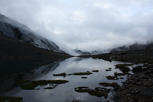
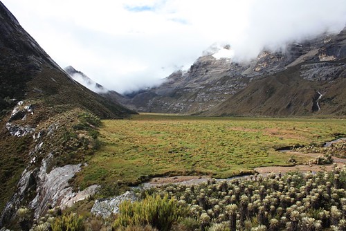
By morning I had made up my mind I was going to just turn around and march a nine hour slog back to the cabañas and give up on this hiking lark. But when I got out the tent the mirror flat lake reflected the surrounding mountains. The mist had risen, not completely, but enough to encourage me. I packed and set off. Even so, I wasn't keen on too many more cold nights in my clapped out sleeping bag. I put in a 10 hour march, rolling together two of the planned days.
IMG_2104
It turned out to be quite a nice day, and by lunchtime the mist had risen quite a bit. I crossed Valle de Cojines a swampy place with rows and rows of triffids. I didn't bother to pick a careful route through the marshy ground. My feet were wet anyway so I just stomped through spashing mud. I had a quick bowl of cold oats for lunch, an insurrance measure against rain. Rain that began shortly after I put the pan back in my sack and started on the next day, if you see what I mean.
IMG_2100
Now I was back to mist and rain and after 4 hours I reached Laguna de la Plaza. It looked like a sea, the other side disappearing into mist. The map said an hour walk to the campsite. It was 2:30pm so, although I was cream-crackered, I assumed I would have time to walk the further 3 hours to the nearest Refuggio. Ha.
IMG_2155
The walk round the edge of the lake was more like a scramble on a series of wet terraces which sloped a hundred metres above the lake, with a film of water running over them. I slipped up several times and decided that going slow was the best course of action. I'd been walking nine hours and hadn't slept for nearly sixty. There was no trail and the cairns were far enough apart that you couldn't see the next one in the mist. My photocopied sketch map was next to useless.
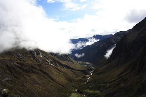
And then came the reward.

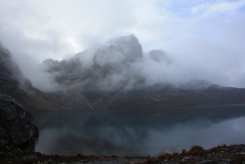
The skies cleared. The mist rose. The rain stopped and the view opened up. Laguna de la Plaza was revealed in all its glory. Unreal. Snow capped mountains loomed over the lake. I stuck up the tent and walked around snapping off hundreds of photos. Fantastic. (it would be another night of shivering but who cares, eh?)
IMG_2173

This post relates to my bike trip in South America in 2010.
I now offer guided walks and walking holidays in the UK in Northumberland, the Pennines, the Lake District, Scotland and further afield.

I'm always keen for outdoor adventures to help people learn the skills to explore! My particular focus is mountain skills such as navigating with a map and compass and wild camping for expeditions.

Vilcabamba to Baños:

For a few days in Vilcabamba a lovely retired couple put me up on their farm. In exchange I picked coffee for a few hours in the mornings, and did a bit of painting in a flat they are renting out. Then I loaded up the trusty steed and headed for the Panamerican. It rained most of the way to Loja and from there most of the way to Cuenca.
IMG_1174
IMG_1179
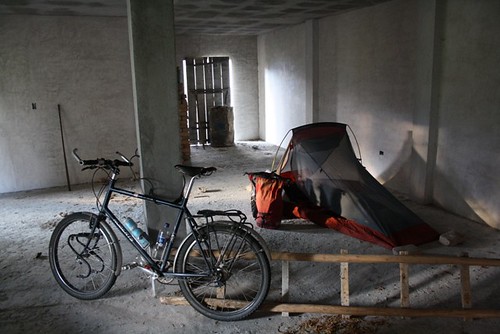
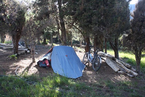
Weird that it is so cold so close to the equator. But then I was still cycling along above 2000m. Camping in an unfinished house that a shop owner said I could use kept me out of a biting cold wind. The next night I found a Wild West themed restaurant out in the middle of nowhere and the owner let me camp outside. There must have been something about the clay hereabouts as I saw many little brick factories as I climbed up, up, up.

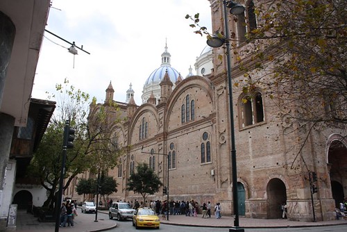
Cuenca is a delightful old colonial city and so it is also quite expensive. I got my fill of architecture and slept in a bit too much comfort. Then I headed on towards Riobamba. Nice campspot in a corn feild with a beautiful sunset. Met a huge gaggle of cyclists heading south. Fully supported. There website is bike-dreams.com. Check out the price 8400 euros for 129 days. Phewy!
IMG_1183
IMG_1202
IMG_1206
Also met Ewan McGreggor. Or at least someone who looked a bit like him...
IMG_1209
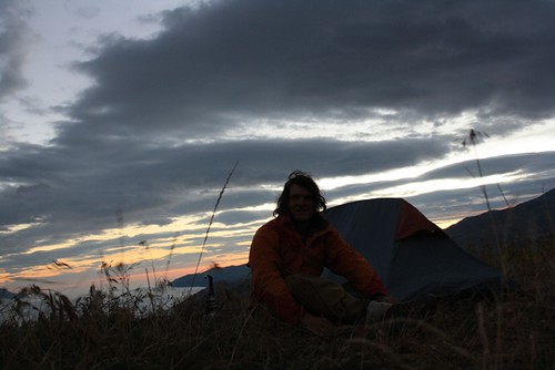
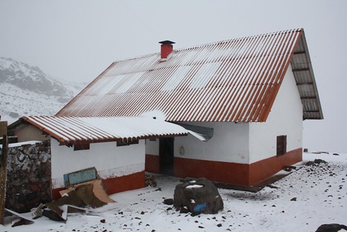
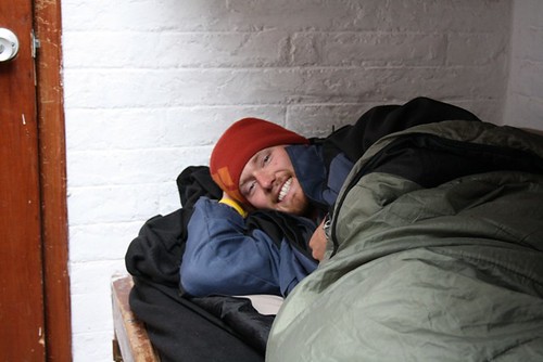
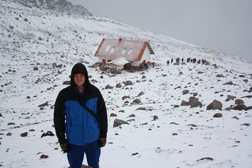
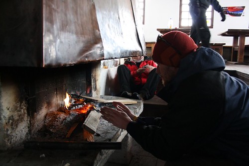
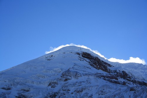
Got to Riobamba and found my couchsurfing host, Wladimir who had also fixed me up with a climbing partner and guide to have a crack at Chimborazo. Dean and I got a bus to the national park and hiked up to the refuge at 5000m where we spent 2 days eating, playing cards, warming ourselves by the fire, eating, drinking tea, eating and waiting for Ediverto, our guide, to show up. Occassionally we went and lay down pretending to sleep. The weather outside shook the refuge and we saw nothing of the mountian we intended to climb. All this time we saw groups arrive and looking at the conditions, turn back. There was much discussion about an accident earlier in the week in which a climber was injured by a rock fall/avalanche. Very few even left the refuge. Also, a slightly creepy Russian bloke, called Igor, started probing us with questions. It was soon clear that he intended to follow us when we set off. Bit cheeky seeing as we'd paid for a guide and he hadn't.
IMG_1212
IMG_1214
IMG_1222
IMG_1226
IMG_1249

Ediverto showed up and at 11pm we set off. The sky was clear now but it was very windy. The fresh snow, warmed up by that blanket of cloud, was described by Ediverto as suave (soft or gentle) and later on loco (crazy). I began to get the impression this wasn't going to happen. As we headed up we saw that Igor was following us. Then, as we stopped to have another good look at the snow, he overtook. At the base of "the corridor", the site of the accident, we couldn't see Igor above. Ediverto said he was very worried about him as it was a very dangerous part to be on your own. He decided that the risk of rockfall in this spot was too high especially with the strong wind. And higher up the chance of avalanche was also strong because of the poor snow conditions. He explained all this to us and we had to accept his decision. As we walked down he was very worried about Igor. Soon we saw his head torch following us down.

Back in Riobamba I got a full day's sleep and then set off again. Due to my lousy sense of direction, and Ecuador's lack of sign-posts, I ended up going up a very long hill in not quite the right dirrection. I ran out of water and had to top up from a village tap, bit risky. Then got some dry bread to eat for lunch. In the end I managed to work out roughly were I was and the bonus of all that climbing was I got to freewheel for thirty odd kilometres down to Baños.

Next, I head for the jungle town: Puyo...